
IMAGES TAKEN NEAR TO
Field Aston, NEWPORT, TF10 9LE
Introduction
This page details the photographs taken nearby to TF10 9LE by members of the Geograph project.
The Geograph project started in 2005 with the aim of publishing, organising and preserving representative images for every square kilometre of Great Britain, Ireland and the Isle of Man.

There are currently over 7.5m images from over14,400 individuals and you can help contribute to the project by visiting https://www.geograph.org.uk
Image Map
Images are licensed for reuse under creativecommons.org/licenses/by-sa/2.0
Notes
- Clicking on the map will re-center to the selected point.
- The higher the marker number, the further away the image location is from the centre of the postcode.
Image Listing (9 Images Found)
Images are licensed for reuse under creativecommons.org/licenses/by-sa/2.0
Image
Details
Distance
1
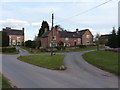
Centre of Field Aston
Cottages and farm buildings in the hamlet of Field Aston.
Image: © Richard Law
Taken: 4 Apr 2013
0.01 miles
2
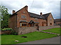
28 Chetwynd Aston
A fine conversion of a terrace of small 17th or 18th century cottages, now with an additional range added to the far end in a sympathetic style. They were Grade II listed https://historicengland.org.uk/listing/the-list/list-entry/1206109 & https://britishlistedbuildings.co.uk/101206109-28-chetwynd-aston-and-woodcote#.ZFkK6HbMLIU in 1983.
Image: © Richard Law
Taken: 1 May 2023
0.02 miles
3
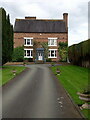
Aston Manor house, Chetwynd Aston
Described in its 1983 Grade II listing https://historicengland.org.uk/listing/the-list/list-entry/1367439 & https://britishlistedbuildings.co.uk/101367439-aston-manor-chetwynd-aston-and-woodcote#.ZFkJC3bMLIU as dating from around the early 18th century; it has been altered over the years but the rear staircase apparently retains one of the original newel posts with its finial.
Image: © Richard Law
Taken: 1 May 2023
0.05 miles
4
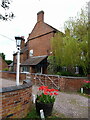
Upper Farmhouse at Chetwynd Aston
More accurately, a rather obscured view of the early 19th century Upper Farmhouse, particularly of its Victorian side-porch. It was Grade II listed https://historicengland.org.uk/listing/the-list/list-entry/1054122 & https://britishlistedbuildings.co.uk/101054122-upper-farmhouse-chetwynd-aston-and-woodcote#.ZFkMhXbMLIV in 1983.
Image: © Richard Law
Taken: 1 May 2023
0.10 miles
5
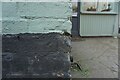
Wheatsheaf Public House 1GL Benchmark
This benchmark, cut into the Wheatsheaf Public House on Pave Lane, Telford, was used during the First Primary Levelling, England & Wales. It was included on the Llandysilio to Stafford line as "No. 84. Mark on East angle of the Wheat Sheaf Inn, Field Aston ; 1.07 ft. above surface. (p587)" at 292.343 feet above Liverpool datum.
Image: © Anthony Rowley
Taken: 24 Mar 2022
0.13 miles
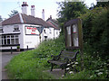
7
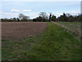
Field edge footpath outside Chetwynd Aston
Image: © Richard Law
Taken: 4 Apr 2013
0.16 miles
8
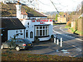
The Wheatsheaf
The Wheatsheaf Public House at Chetwynd Aston
Image: © Anne Pollitt
Taken: 28 Nov 2006
0.17 miles
9
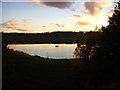
Reservoir at Chetwynd Aston
A private fishing pool where you can catch enormous carp.
Image: © A Holmes
Taken: 28 Oct 2007
0.22 miles