Wheatsheaf Public House 1GL Benchmark
Introduction
The photograph on this page of Wheatsheaf Public House 1GL Benchmark by Anthony Rowley as part of the Geograph project.
The Geograph project started in 2005 with the aim of publishing, organising and preserving representative images for every square kilometre of Great Britain, Ireland and the Isle of Man.

There are currently over 7.5m images from over 14,400 individuals and you can help contribute to the project by visiting https://www.geograph.org.uk
Wheatsheaf Public House 1GL Benchmark
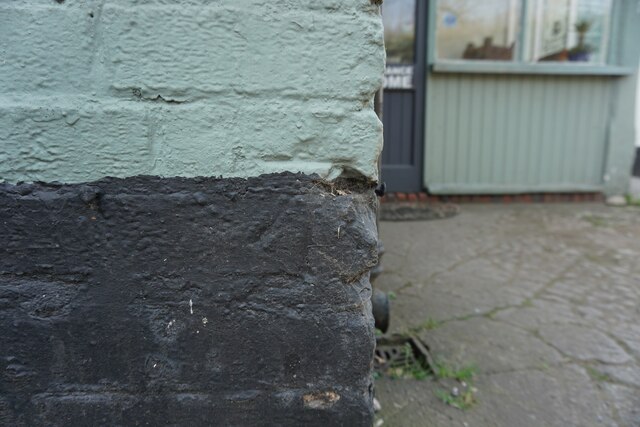
Image: © Anthony Rowley Taken: 24 Mar 2022
This benchmark, cut into the Wheatsheaf Public House on Pave Lane, Telford, was used during the First Primary Levelling, England & Wales. It was included on the Llandysilio to Stafford line as "No. 84. Mark on East angle of the Wheat Sheaf Inn, Field Aston ; 1.07 ft. above surface. (p587)" at 292.343 feet above Liverpool datum.
Images are licensed for reuse under creativecommons.org/licenses/by-sa/2.0
Image Location
Latitude
52.754588
Longitude
-2.367111