
IMAGES TAKEN NEAR TO
Queen Elizabeths Walk, WALLINGTON, SM6 8JF
Introduction
This page details the photographs taken nearby to Queen Elizabeths Walk, SM6 8JF by members of the Geograph project.
The Geograph project started in 2005 with the aim of publishing, organising and preserving representative images for every square kilometre of Great Britain, Ireland and the Isle of Man.

There are currently over 7.5m images from over14,400 individuals and you can help contribute to the project by visiting https://www.geograph.org.uk
Image Map
Images are licensed for reuse under creativecommons.org/licenses/by-sa/2.0
Notes
- Clicking on the map will re-center to the selected point.
- The higher the marker number, the further away the image location is from the centre of the postcode.
Image Listing (50 Images Found)
Images are licensed for reuse under creativecommons.org/licenses/by-sa/2.0
Image
Details
Distance
1
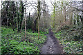
Beddington: Queen Elizabeth Walk (path)
See Image The path, although somewhat muddy, is still a pleasant walk. This is looking south, towards the exit onto Queenswood Avenue.
Image: © Dr Neil Clifton
Taken: 5 Apr 2010
0.06 miles
2
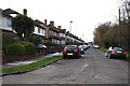
Beddington: Queen Elizabeth Walk
The name 'Queen Elizabeth Walk' can be applied to a road, (as here: it only has houses on the east side), or a path, which runs parallel to the road, and once was a beautiful grove of beech trees, which were all cut down by the landowner, to the great indignaton of the villagers. Thus the path is actually older than the road.
Image: © Dr Neil Clifton
Taken: 5 Apr 2010
0.07 miles
3
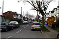
Beddington: Royston Avenue
Looking south from its junction with Sandhills. At the other end, Royston Avenue makes a T-junction with Queenswood Avenue.
Image: © Dr Neil Clifton
Taken: 5 Apr 2010
0.10 miles
4
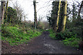
Beddington: Queen Elizabeth Walk (path)
See Image This is looking north towards the junction of this path with the raised footpath along Croydon Road.
Image: © Dr Neil Clifton
Taken: 5 Apr 2010
0.10 miles
5
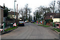
Beddington: Sandhills
Looking west from the end of Royston Avenue. Sandhills comes to a dead end, and exit must be made by turning left into Queen Elizabeth Walk.
Image: © Dr Neil Clifton
Taken: 5 Apr 2010
0.11 miles
6
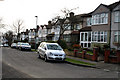
Beddington: Sandhills
This shows the south side of the road, looking east. Sandhills is a one-way road, which can be entered from the east end at Plough Lane, but must be exited via Royston Avenue or Queen Elizabeth Walk.
Image: © Dr Neil Clifton
Taken: 5 Apr 2010
0.12 miles
7
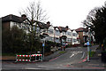
Beddington: Sandhills
This quiet one-way road runs west from a junction with Plough Lane, from which this photograph was taken. Sandhills can be exited at the other end via Royston Avenue or Queen Elizabeth's Walk.
Image: © Dr Neil Clifton
Taken: 29 Mar 2010
0.13 miles
8
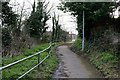
Beddington: Raised footpath along Croydon Road
West of the Hilliers Lane junction, the A232 (Croydon Road) runs in a cutting where there is no room for a footpath, so thoughtfully a raised path in a safe position on the south side has been provided, making a junction with the Queen Elizabeth Walk footpath, from where this photograph was taken, looking east.
Image: © Dr Neil Clifton
Taken: 5 Apr 2010
0.14 miles
10
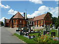
Chapel buildings, Bandon Hill cemetery
There appear to be two chapels here, with a cloistered link.
Image: © Robin Webster
Taken: 29 Jun 2011
0.15 miles