Beddington: Raised footpath along Croydon Road
Introduction
The photograph on this page of Beddington: Raised footpath along Croydon Road by Dr Neil Clifton as part of the Geograph project.
The Geograph project started in 2005 with the aim of publishing, organising and preserving representative images for every square kilometre of Great Britain, Ireland and the Isle of Man.

There are currently over 7.5m images from over 14,400 individuals and you can help contribute to the project by visiting https://www.geograph.org.uk
Beddington: Raised footpath along Croydon Road
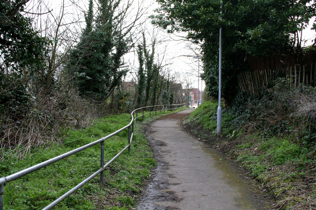
Image: © Dr Neil Clifton Taken: 5 Apr 2010
West of the Hilliers Lane junction, the A232 (Croydon Road) runs in a cutting where there is no room for a footpath, so thoughtfully a raised path in a safe position on the south side has been provided, making a junction with the Queen Elizabeth Walk footpath, from where this photograph was taken, looking east.
Images are licensed for reuse under creativecommons.org/licenses/by-sa/2.0
Image Location


Leaflet Map data © OpenStreetMap
Latitude
51.369224
Longitude
-0.13601