Beddington: Queen Elizabeth Walk
Introduction
The photograph on this page of Beddington: Queen Elizabeth Walk by Dr Neil Clifton as part of the Geograph project.
The Geograph project started in 2005 with the aim of publishing, organising and preserving representative images for every square kilometre of Great Britain, Ireland and the Isle of Man.

There are currently over 7.5m images from over 14,400 individuals and you can help contribute to the project by visiting https://www.geograph.org.uk
Beddington: Queen Elizabeth Walk
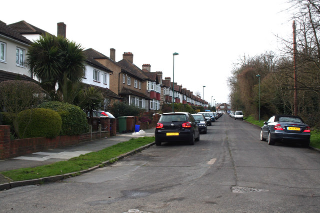
Image: © Dr Neil Clifton Taken: 5 Apr 2010
The name 'Queen Elizabeth Walk' can be applied to a road, (as here: it only has houses on the east side), or a path, which runs parallel to the road, and once was a beautiful grove of beech trees, which were all cut down by the landowner, to the great indignaton of the villagers. Thus the path is actually older than the road.
Images are licensed for reuse under creativecommons.org/licenses/by-sa/2.0
Image Location
Latitude
51.368237
Longitude
-0.136193