1
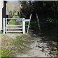
North along Dolau Fan Road, Burry Port
Viewed from the corner of Colby Road. Dolau Fan Road leads to Dolau Fan Cemetery.
Image: © Jaggery
Taken: 13 Mar 2018
0.15 miles
2
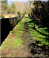
Path from Burry Port towards Cwm Capel
From the north side of the A484 Colby Road. Cwm Capel is Welsh for Chapel Valley or Vale.
Image: © Jaggery
Taken: 13 Mar 2018
0.15 miles
3
Lane and track, Graig, Burry Port
The lane leads to Cwm Capel and a chapel, the track to a trash grid on Nant Dyfatty.
Image: © Humphrey Bolton
Taken: 22 Apr 2019
0.15 miles
4
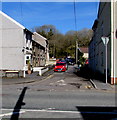
Dandorlan Road, Burry Port
Dead-end road on the west bank of a stream, Nant Dyfatty. Viewed across the A484 Colby Road.
Image: © Jaggery
Taken: 13 Mar 2018
0.16 miles
5
Corner of Colby Road and Dandorlan Road, Burry Port
Viewed across the A484 Colby Road.
Image: © Jaggery
Taken: 15 Apr 2012
0.16 miles
6
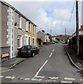
Erw Terrace, Burry Port
Looking to the ENE along Erw Terrace from Y Graig.
The bilingual sign on the left shows that Erw Terrace is Teras yr Erw in Welsh.
Image: © Jaggery
Taken: 16 Mar 2018
0.17 miles
7
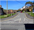
North along Dolau Fan Road, Burry Port
The 30mph speed limit on the A484 Colby Road drops to 20mph on Dolau Fan Road (Heol Dolau Fan in Welsh).
Ahead for Dolau Fan Cemetery.
Image: © Jaggery
Taken: 13 Mar 2018
0.18 miles
8
Inwardly-sloping barrier and a gate across a path towards Cwm Capel, Carmarthenshire
Viewed from the north side of the A484 Colby Road. The path ahead https://www.geograph.org.uk/photo/5793453 leads to Cwm Capel.
Image: © Jaggery
Taken: 13 Mar 2018
0.18 miles
9
Dolycoed Avenue, Burry Port
Dolycoed Avenue is a cul-de-sac on the north side of the A484 Colby Road.
Image: © Jaggery
Taken: 13 Mar 2018
0.18 miles
10
Pemberton Arms, Burry Port
Pub viewed across the A484 Colby Road in March 2018. https://www.geograph.org.uk/photo/5705772 to the name sign on the left.
Here's https://www.geograph.org.uk/photo/3608839 how the pub looked in April 2012.
Image: © Jaggery
Taken: 13 Mar 2018
0.19 miles


