Erw Terrace, Burry Port
Introduction
The photograph on this page of Erw Terrace, Burry Port by Jaggery as part of the Geograph project.
The Geograph project started in 2005 with the aim of publishing, organising and preserving representative images for every square kilometre of Great Britain, Ireland and the Isle of Man.

There are currently over 7.5m images from over 14,400 individuals and you can help contribute to the project by visiting https://www.geograph.org.uk
Erw Terrace, Burry Port
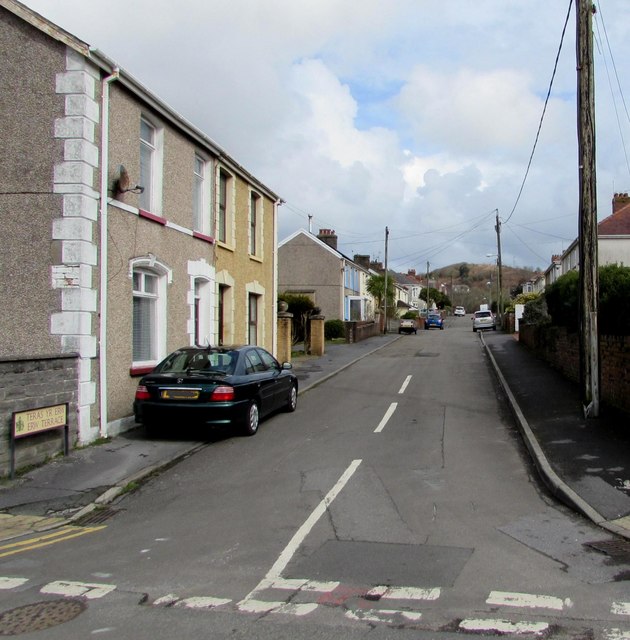
Image: © Jaggery Taken: 16 Mar 2018
Looking to the ENE along Erw Terrace from Y Graig. The bilingual sign on the left shows that Erw Terrace is Teras yr Erw in Welsh.
Images are licensed for reuse under creativecommons.org/licenses/by-sa/2.0
Image Location
Latitude
51.691274
Longitude
-4.247068