Dandorlan Road, Burry Port
Introduction
The photograph on this page of Dandorlan Road, Burry Port by Jaggery as part of the Geograph project.
The Geograph project started in 2005 with the aim of publishing, organising and preserving representative images for every square kilometre of Great Britain, Ireland and the Isle of Man.

There are currently over 7.5m images from over 14,400 individuals and you can help contribute to the project by visiting https://www.geograph.org.uk
Dandorlan Road, Burry Port
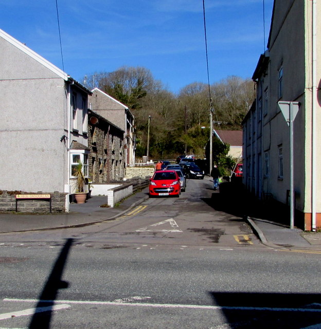
Image: © Jaggery Taken: 13 Mar 2018
Dead-end road on the west bank of a stream, Nant Dyfatty. Viewed across the A484 Colby Road.
Images are licensed for reuse under creativecommons.org/licenses/by-sa/2.0
Image Location
Latitude
51.690415
Longitude
-4.244999