Pemberton Arms, Burry Port
Introduction
The photograph on this page of Pemberton Arms, Burry Port by Jaggery as part of the Geograph project.
The Geograph project started in 2005 with the aim of publishing, organising and preserving representative images for every square kilometre of Great Britain, Ireland and the Isle of Man.

There are currently over 7.5m images from over 14,400 individuals and you can help contribute to the project by visiting https://www.geograph.org.uk
Pemberton Arms, Burry Port
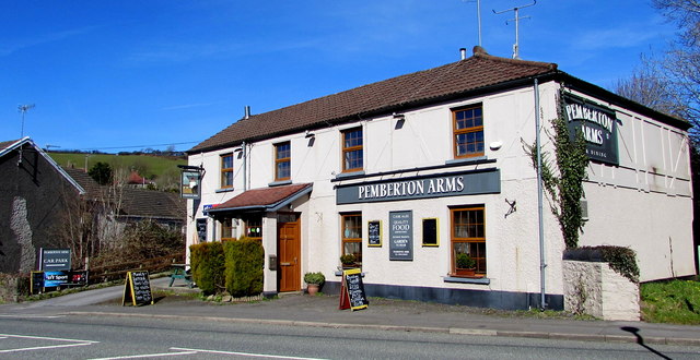
Image: © Jaggery Taken: 13 Mar 2018
Pub viewed across the A484 Colby Road in March 2018. https://www.geograph.org.uk/photo/5705772 to the name sign on the left. Here's https://www.geograph.org.uk/photo/3608839 how the pub looked in April 2012.
Images are licensed for reuse under creativecommons.org/licenses/by-sa/2.0
Image Location
Latitude
51.689968
Longitude
-4.244832