
IMAGES TAKEN NEAR TO
Sunnydene Close, ROMFORD, RM3 0TL
Introduction
This page details the photographs taken nearby to Sunnydene Close, RM3 0TL by members of the Geograph project.
The Geograph project started in 2005 with the aim of publishing, organising and preserving representative images for every square kilometre of Great Britain, Ireland and the Isle of Man.

There are currently over 7.5m images from over14,400 individuals and you can help contribute to the project by visiting https://www.geograph.org.uk
Image Map
Images are licensed for reuse under creativecommons.org/licenses/by-sa/2.0
Notes
- Clicking on the map will re-center to the selected point.
- The higher the marker number, the further away the image location is from the centre of the postcode.
Image Listing (14 Images Found)
Images are licensed for reuse under creativecommons.org/licenses/by-sa/2.0
Image
Details
Distance
1
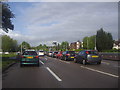
Colchester Road at the junction of Gooshays Drive
Image: © David Howard
Taken: 15 May 2012
0.08 miles
3
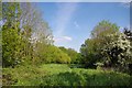
A Brookside Path
A little slice of green beside the A12
Image: © Glyn Baker
Taken: 15 May 2016
0.15 miles
4
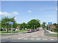
St. Neot's Road, Harold Hill
Harold Hill is a large housing estate near Romford.
Image: © Malc McDonald
Taken: 25 May 2013
0.15 miles
5
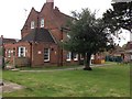
The Morris Dancer, Harold Hill
An unusually named pub, I think, and perhaps a rather incongruous position in the middle of a housing estate.
Image: © Trevor Harris
Taken: 11 May 2013
0.16 miles
6
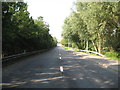
A12: London Loop crossing in Harold Park (1)
Walkers on the long-distance London Loop footpath take their lives into their own hands in crossing the dual carriageway A12 Colchester Road in Harold Park. This is the view from the crossing of the eastbound carriageway looking west. The footpath goes through the dense hedge to the westbound carriageway on the left. Fortunately the former Roman Road gives a good view back to the traffic light controlled Gooshays Drive junction.
Image: © Nigel Cox
Taken: 26 Aug 2013
0.18 miles
7

Whose Brook?
A nearby road is called Paines Brook Way, however My "Explorer" map calls this Carrer's Brook. Taken looking towards the A12 culvert.
Image: © Glyn Baker
Taken: 15 May 2016
0.18 miles
8
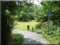
Path through Painsbrook Open Space
From the path beside the A12.
Image: © Robin Webster
Taken: 11 Jun 2011
0.19 miles
9
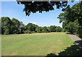
London Loop in the Park
The Loop runs through this small recreation ground in Harold Wood.
Image: © Des Blenkinsopp
Taken: 8 Sep 2014
0.20 miles
10
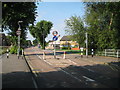
Harold Hill: St Neot's Road
A 6' 6" width restriction separates the eastern and western sections of St Neot's Road at the bridge here over Paine's Brook.
Image: © Nigel Cox
Taken: 26 Aug 2013
0.21 miles