Harold Hill: St Neot's Road
Introduction
The photograph on this page of Harold Hill: St Neot's Road by Nigel Cox as part of the Geograph project.
The Geograph project started in 2005 with the aim of publishing, organising and preserving representative images for every square kilometre of Great Britain, Ireland and the Isle of Man.

There are currently over 7.5m images from over 14,400 individuals and you can help contribute to the project by visiting https://www.geograph.org.uk
Harold Hill: St Neot's Road
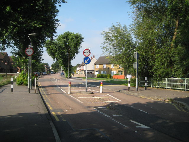
Image: © Nigel Cox Taken: 26 Aug 2013
A 6' 6" width restriction separates the eastern and western sections of St Neot's Road at the bridge here over Paine's Brook.
Images are licensed for reuse under creativecommons.org/licenses/by-sa/2.0
Image Location
Latitude
51.601324
Longitude
0.234632