Whose Brook?
Introduction
The photograph on this page of Whose Brook? by Glyn Baker as part of the Geograph project.
The Geograph project started in 2005 with the aim of publishing, organising and preserving representative images for every square kilometre of Great Britain, Ireland and the Isle of Man.

There are currently over 7.5m images from over 14,400 individuals and you can help contribute to the project by visiting https://www.geograph.org.uk
Whose Brook?
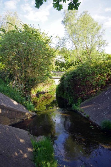
Image: © Glyn Baker Taken: 15 May 2016
A nearby road is called Paines Brook Way, however My "Explorer" map calls this Carrer's Brook. Taken looking towards the A12 culvert.
Images are licensed for reuse under creativecommons.org/licenses/by-sa/2.0
Image Location
Latitude
51.600586
Longitude
0.235606