
IMAGES TAKEN NEAR TO
Belvedere Walk, HAYWARDS HEATH, RH16 4TD
Introduction
This page details the photographs taken nearby to Belvedere Walk, RH16 4TD by members of the Geograph project.
The Geograph project started in 2005 with the aim of publishing, organising and preserving representative images for every square kilometre of Great Britain, Ireland and the Isle of Man.

There are currently over 7.5m images from over14,400 individuals and you can help contribute to the project by visiting https://www.geograph.org.uk
Image Map
Images are licensed for reuse under creativecommons.org/licenses/by-sa/2.0
Notes
- Clicking on the map will re-center to the selected point.
- The higher the marker number, the further away the image location is from the centre of the postcode.
Image Listing (59 Images Found)
Images are licensed for reuse under creativecommons.org/licenses/by-sa/2.0
Image
Details
Distance
1
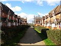
Belvedere Walk, Bolnore Village
The opposite view of Image This section of Bolnore village was the first to be developed in the mid 2000s.
Image: © Simon Carey
Taken: 31 Mar 2015
0.02 miles
2
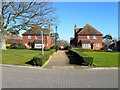
Belvedere Walk, Bolnore Village
New tile hung faux cottages off Heyworth Ride.
Image: © Simon Carey
Taken: 17 Feb 2015
0.03 miles
4
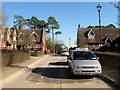
Upper Stables/Farm Cottages, Bolnore Village
The fake rural ideal of Bolnore Village reaches its epitome with this set of buildings designed as former farm buildings converted into residences. Upper Stables are to the left and have never seen or heard a horse in their entire existence whilst Farm Cottages are to the right.
Image: © Simon Carey
Taken: 17 Feb 2015
0.04 miles
5
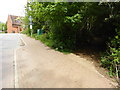
Footpath junction in Bolnore Village
The road is shown on OS mapping as Trubwick Avenue.
Image: © Shazz
Taken: 20 May 2016
0.04 miles
6
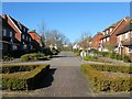
Heyworth Ride, Bolnore Village
The main thoroughfare for this section of the new development takes its name from the old manor that covered part of Haywards Heath. This section was once a field called Bushey Field according to Cuckfield's 1843 tithe map.
Image: © Simon Carey
Taken: 17 Feb 2015
0.05 miles
7
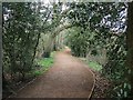
Bridleway, Bolnore Village
The bridleway is surfaced between Bolnore Farm Road and Ashenground Bridge and runs through the new bolnore village development. The route is ancient and is marked on a 1638 estate map where it is called Half Street Lane. The wooded area to the left is now part of a nature reserve run by the Friends of Ashenground and Bolnore Woods who have named it King Street Copse. This section runs between it crossing Renfields and Trubwick Avenue.
Image: © Simon Carey
Taken: 31 Mar 2015
0.05 miles
8
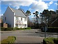
The Paddocks, Bolnore Village
A cul de sac off Heyworth Ride in the upper village, the first section of the new development to be completed.
Image: © Simon Carey
Taken: 31 Mar 2015
0.06 miles
9
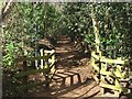
Bridleway, Bolnore Village
The section of the surfaced bridleway links Trubwick Avenue to Bolnore Farm Lane, the northern end of the route which heads south then swings east to Ashenground Bridge travelling through the new Bolnore village development. The route is ancient and is clearly marked on a 1638 estate map where it is called Half Street Lane.
Image: © Simon Carey
Taken: 31 Mar 2015
0.07 miles
10
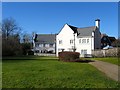
Pondside, Bolnore Village
Occupying a former field called Four Acres according to Cuckfield's 1843 tithe map. This is the southern end of the small cul de sac viewed from an open space adjacent to Heyworth Ride.
Image: © Simon Carey
Taken: 17 Feb 2015
0.07 miles