Pondside, Bolnore Village
Introduction
The photograph on this page of Pondside, Bolnore Village by Simon Carey as part of the Geograph project.
The Geograph project started in 2005 with the aim of publishing, organising and preserving representative images for every square kilometre of Great Britain, Ireland and the Isle of Man.

There are currently over 7.5m images from over 14,400 individuals and you can help contribute to the project by visiting https://www.geograph.org.uk
Pondside, Bolnore Village
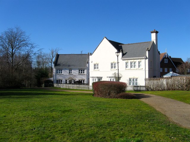
Image: © Simon Carey Taken: 17 Feb 2015
Occupying a former field called Four Acres according to Cuckfield's 1843 tithe map. This is the southern end of the small cul de sac viewed from an open space adjacent to Heyworth Ride.
Images are licensed for reuse under creativecommons.org/licenses/by-sa/2.0
Image Location
Latitude
50.993145
Longitude
-0.119625