The Paddocks, Bolnore Village
Introduction
The photograph on this page of The Paddocks, Bolnore Village by Simon Carey as part of the Geograph project.
The Geograph project started in 2005 with the aim of publishing, organising and preserving representative images for every square kilometre of Great Britain, Ireland and the Isle of Man.

There are currently over 7.5m images from over 14,400 individuals and you can help contribute to the project by visiting https://www.geograph.org.uk
The Paddocks, Bolnore Village
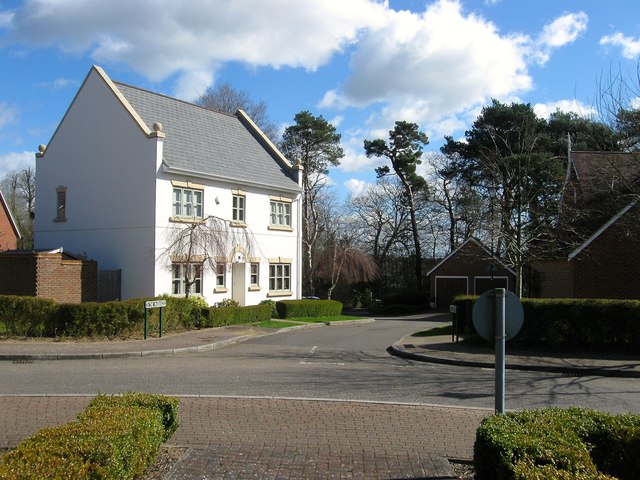
Image: © Simon Carey Taken: 31 Mar 2015
A cul de sac off Heyworth Ride in the upper village, the first section of the new development to be completed.
Images are licensed for reuse under creativecommons.org/licenses/by-sa/2.0
Image Location
Latitude
50.992576
Longitude
-0.117795