Bridleway, Bolnore Village
Introduction
The photograph on this page of Bridleway, Bolnore Village by Simon Carey as part of the Geograph project.
The Geograph project started in 2005 with the aim of publishing, organising and preserving representative images for every square kilometre of Great Britain, Ireland and the Isle of Man.

There are currently over 7.5m images from over 14,400 individuals and you can help contribute to the project by visiting https://www.geograph.org.uk
Bridleway, Bolnore Village
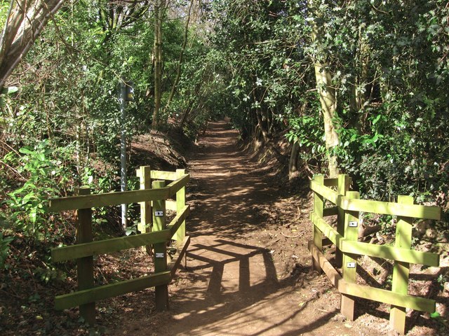
Image: © Simon Carey Taken: 31 Mar 2015
The section of the surfaced bridleway links Trubwick Avenue to Bolnore Farm Lane, the northern end of the route which heads south then swings east to Ashenground Bridge travelling through the new Bolnore village development. The route is ancient and is clearly marked on a 1638 estate map where it is called Half Street Lane.
Images are licensed for reuse under creativecommons.org/licenses/by-sa/2.0
Image Location
Latitude
50.994368
Longitude
-0.117438