
IMAGES TAKEN NEAR TO
Cowslip View, BURGESS HILL, RH15 0ZH
Introduction
This page details the photographs taken nearby to Cowslip View, RH15 0ZH by members of the Geograph project.
The Geograph project started in 2005 with the aim of publishing, organising and preserving representative images for every square kilometre of Great Britain, Ireland and the Isle of Man.

There are currently over 7.5m images from over14,400 individuals and you can help contribute to the project by visiting https://www.geograph.org.uk
Image Map
Images are licensed for reuse under creativecommons.org/licenses/by-sa/2.0
Notes
- Clicking on the map will re-center to the selected point.
- The higher the marker number, the further away the image location is from the centre of the postcode.
Image Listing (18 Images Found)
Images are licensed for reuse under creativecommons.org/licenses/by-sa/2.0
Image
Details
Distance
1
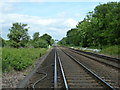
Up line to London
Straight section of track between Burgess Hill and Haywards Heath. In the distance is High Bridge at Haywards Heath.
Image: © Dave Spicer
Taken: 15 May 2011
0.14 miles
2
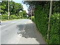
Valebridge Road north out of Burgess Hill
Image: © Dave Spicer
Taken: 15 May 2011
0.16 miles
3

East side, Bedelands Farm Local Nature Reserve
A view from a bench.
Image: © Robin Webster
Taken: 30 Mar 2025
0.17 miles
4

Dry stone wall, Bedelands Farm Local Nature Reserve
It is in a sort of bracken ridden buffer zone between the railway fence and open grassland. Rather poorly built, it may be a modern construction for the benefit of wildlife such as lizards.
Image: © Robin Webster
Taken: 30 Mar 2025
0.18 miles
5
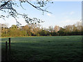
Bell Meadow
The name of the field according to Wivelsfield's 1843 tithe map viewed from Theobalds Road.
Image: © Simon Carey
Taken: 10 Apr 2011
0.21 miles
6
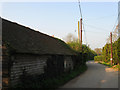
Theobalds Road
A private road that once linked the former Valebridge Common with Theobald's Farm which lies beyond the wooden barn to the left. After the estate was sold in 1920s the road became an access route for the number of smallholdings that appeared between the wars between the former farm and the River Adur. Although the road is private for vehicles it is a public bridleway.
Image: © Simon Carey
Taken: 17 Apr 2011
0.21 miles
7
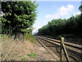
Brighton Line with steam special
A view towards London from the footpath level crossing.
Image: © Robin Webster
Taken: 23 Sep 2006
0.21 miles
8
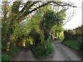
Theobalds Road
Some older maps have the road continuing to the left other newer maps to the right. The hollow way to the left is the clue to which is the older route, now a public bridleway linking World's End to Lunces Common. The newer route to the right is a private road providing access to a number of individual houses and farms.
Image: © Simon Carey
Taken: 10 Apr 2011
0.21 miles
9
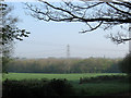
Gamble Meadow
The name of the field according to Wivelsfield's 1843 tithe map with Pondtail Wood at the far end of the field. A smallholding called Gamblemead is situated out of shot to the right and was the first of the smallholdings built on the former Theobalds estate that sold after the First World War.
Image: © Simon Carey
Taken: 17 Apr 2011
0.21 miles
10
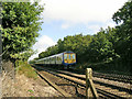
Thameslink train to Brighton
Two class 319 units form the eight coach train.
Image: © Robin Webster
Taken: 23 Sep 2006
0.22 miles