Theobalds Road
Introduction
The photograph on this page of Theobalds Road by Simon Carey as part of the Geograph project.
The Geograph project started in 2005 with the aim of publishing, organising and preserving representative images for every square kilometre of Great Britain, Ireland and the Isle of Man.

There are currently over 7.5m images from over 14,400 individuals and you can help contribute to the project by visiting https://www.geograph.org.uk
Theobalds Road
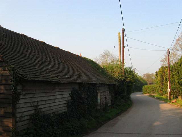
Image: © Simon Carey Taken: 17 Apr 2011
A private road that once linked the former Valebridge Common with Theobald's Farm which lies beyond the wooden barn to the left. After the estate was sold in 1920s the road became an access route for the number of smallholdings that appeared between the wars between the former farm and the River Adur. Although the road is private for vehicles it is a public bridleway.
Images are licensed for reuse under creativecommons.org/licenses/by-sa/2.0
Image Location
Latitude
50.970105
Longitude
-0.113007