
IMAGES TAKEN NEAR TO
Mill Close, LONDON, NW7 1FU
Introduction
This page details the photographs taken nearby to Mill Close, NW7 1FU by members of the Geograph project.
The Geograph project started in 2005 with the aim of publishing, organising and preserving representative images for every square kilometre of Great Britain, Ireland and the Isle of Man.

There are currently over 7.5m images from over14,400 individuals and you can help contribute to the project by visiting https://www.geograph.org.uk
Image Map
Images are licensed for reuse under creativecommons.org/licenses/by-sa/2.0
Notes
- Clicking on the map will re-center to the selected point.
- The higher the marker number, the further away the image location is from the centre of the postcode.
Image Listing (76 Images Found)
Images are licensed for reuse under creativecommons.org/licenses/by-sa/2.0
Image
Details
Distance
1
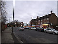
Holders Hill Road looking towards Holders Hill Circus
Image: © David Howard
Taken: 18 Dec 2013
0.04 miles
2
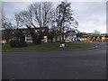
Holders Hill Circus
Roundabout linking Finchley and Hendon to Mill Hill and Totteridge.
Image: © David Howard
Taken: 18 Dec 2013
0.04 miles
3
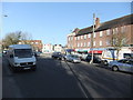
Holders Hill Road NW7
Looking toward the junction with Dollis Road
Image: © Robin Sones
Taken: 27 Nov 2011
0.04 miles
4
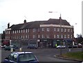
Holders Hill Circus
A typical 1930s shopping arcade positioned to the left of The Mill pub.
Image: © Robert Timms
Taken: 20 Feb 2006
0.05 miles
5
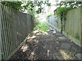
The side entrance to Hendon Cemetery
This has been locked and overgrown as long as I remember
Image: © David Howard
Taken: 29 Jul 2015
0.05 miles
6
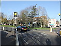
Holders Hill Circus NW7
Taken from Holders Hill Road
Image: © Robin Sones
Taken: 27 Nov 2011
0.06 miles
7
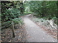
Path alongside Dollis Brook
Dollis Brook rises at Moat Mount near Arkley and eventually becomes the River Brent where it meets the Mutton Brook at Hendon. The Brent flows into the Welsh Harp reservoir and subsequently the Thames.
This view looks along a path to the east of the stream seen at http://www.geograph.org.uk/photo/5099672
Image: © Marathon
Taken: 31 Aug 2016
0.06 miles
8
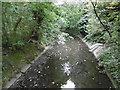
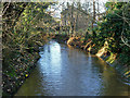
Dollis Brook at Mill Hill
Dollis Brook rises at Moat Mount near Arkley and eventually becomes the River Brent where it meets the Mutton Brook at Hendon. The Brent flows into the Welsh Harp reservoir and subsequently the Thames.
This view looks downstream near Dollis Road.
Image: © Marathon
Taken: 31 Aug 2016
0.07 miles
10
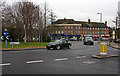
Holders Hill Circus
A relatively quiet time, but this roundabout can be a congestion nightmare in the rush hour.
Image: © Martin Addison
Taken: 19 Jan 2009
0.07 miles