Dollis Brook at Mill Hill
Introduction
The photograph on this page of Dollis Brook at Mill Hill by Marathon as part of the Geograph project.
The Geograph project started in 2005 with the aim of publishing, organising and preserving representative images for every square kilometre of Great Britain, Ireland and the Isle of Man.

There are currently over 7.5m images from over 14,400 individuals and you can help contribute to the project by visiting https://www.geograph.org.uk
Dollis Brook at Mill Hill
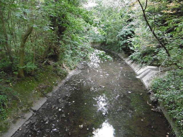
Image: © Marathon Taken: 31 Aug 2016
Dollis Brook rises at Moat Mount near Arkley and eventually becomes the River Brent where it meets the Mutton Brook at Hendon. The Brent flows into the Welsh Harp reservoir and subsequently the Thames. This view looks downstream near Dollis Road.
Images are licensed for reuse under creativecommons.org/licenses/by-sa/2.0
Image Location
Latitude
51.603486
Longitude
-0.20571