IMAGES TAKEN NEAR TO
Addison Way, LONDON, NW11 6AS
Introduction
This page details the photographs taken nearby to Addison Way, NW11 6AS by members of the Geograph project.
The Geograph project started in 2005 with the aim of publishing, organising and preserving representative images for every square kilometre of Great Britain, Ireland and the Isle of Man.

There are currently over 7.5m images from over14,400 individuals and you can help contribute to the project by visiting https://www.geograph.org.uk
Image Map
Images are licensed for reuse under creativecommons.org/licenses/by-sa/2.0
Notes
- Clicking on the map will re-center to the selected point.
- The higher the marker number, the further away the image location is from the centre of the postcode.
Image Listing (220 Images Found)
Images are licensed for reuse under creativecommons.org/licenses/by-sa/2.0
Image
Details
Distance
1
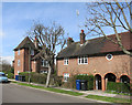
Housing in Addison Way
With turrets and arches, just a little bit different.
Image: © Des Blenkinsopp
Taken: 13 Apr 2016
0.02 miles
2
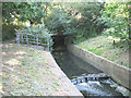
Mutton Brook
On the south side of Falloden Way (A1). A tributary joins from the north (railed off area), probably bringing more pollutants. A footbridge is just visible in the trees. Mutton Brook continues along the side of the North Circular Road (A406) until it joins Dollis Brook in Hendon.
Image: © Martin Addison
Taken: 17 Jun 2006
0.02 miles
4
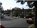
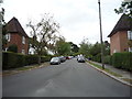
Hogarth Hill NW11
At the junction with Addison Way
Image: © Robin Sones
Taken: 21 Sep 2010
0.03 miles
5
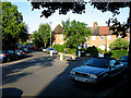
Hogarth Hill
The wheelie bins have been put out by the residents of Hogarth Hill. Seen from the junction with Addison Way.
Image: © Martin Addison
Taken: 23 May 2007
0.04 miles
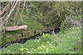
7
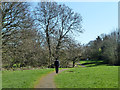
Path, Brookside Walk
Judging by the time, the day, the attire and the map, it is a fair bet the man ahead is walking home from the synagogue.
Image: © Robin Webster
Taken: 19 Mar 2011
0.05 miles
9
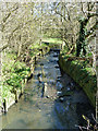
Mutton Brook
Looking upstream. Mutton Brook and Dollis Brook combine about 1 km downstream to form the River Brent.
Image: © Robin Webster
Taken: 19 Mar 2011
0.05 miles