Mutton Brook
Introduction
The photograph on this page of Mutton Brook by Martin Addison as part of the Geograph project.
The Geograph project started in 2005 with the aim of publishing, organising and preserving representative images for every square kilometre of Great Britain, Ireland and the Isle of Man.

There are currently over 7.5m images from over 14,400 individuals and you can help contribute to the project by visiting https://www.geograph.org.uk
Mutton Brook
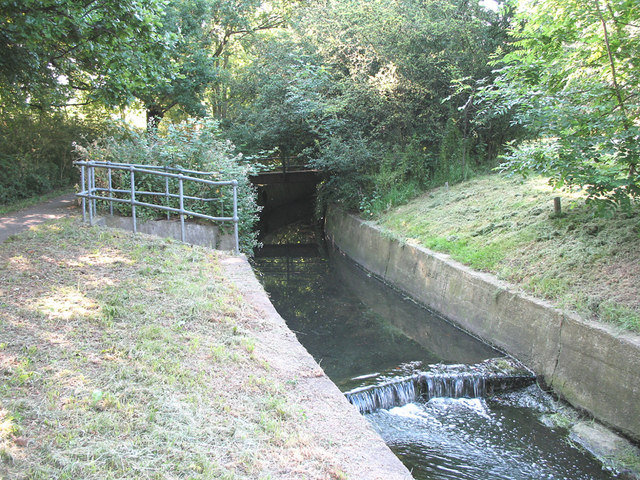
Image: © Martin Addison Taken: 17 Jun 2006
On the south side of Falloden Way (A1). A tributary joins from the north (railed off area), probably bringing more pollutants. A footbridge is just visible in the trees. Mutton Brook continues along the side of the North Circular Road (A406) until it joins Dollis Brook in Hendon.
Images are licensed for reuse under creativecommons.org/licenses/by-sa/2.0
Image Location


Leaflet Map data © OpenStreetMap
Latitude
51.587776
Longitude
-0.195647