
IMAGES TAKEN NEAR TO
Hartest, BURY ST. EDMUNDS, IP29 4DW
Introduction
This page details the photographs taken nearby to IP29 4DW by members of the Geograph project.
The Geograph project started in 2005 with the aim of publishing, organising and preserving representative images for every square kilometre of Great Britain, Ireland and the Isle of Man.

There are currently over 7.5m images from over14,400 individuals and you can help contribute to the project by visiting https://www.geograph.org.uk
Image Map
Images are licensed for reuse under creativecommons.org/licenses/by-sa/2.0
Notes
- Clicking on the map will re-center to the selected point.
- The higher the marker number, the further away the image location is from the centre of the postcode.
Image Listing (9 Images Found)
Images are licensed for reuse under creativecommons.org/licenses/by-sa/2.0
Image
Details
Distance
1
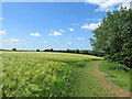
Barley field and footpath
The path climbs from Hartest Green to Hartest Hill (behind the camera) and there are fine views south-west across the valley of the River Glem.
Image: © John Sutton
Taken: 23 Jun 2021
0.13 miles
2
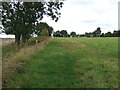
Footpath Sign Post
Footpath sign post near to Hartest, Suffolk.
Image: © Keith Evans
Taken: 7 Sep 2011
0.14 miles
3
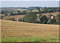
Countryside near Hartest
Overlooking the houses lining the B1066 south of the village.
Image: © Andrew Hill
Taken: 20 Sep 2008
0.16 miles
5
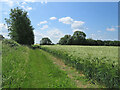
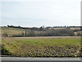
Climbing Hartest Hill
The footpath climbs from Hartest Green to the cottages at the top of Hartest Hill (ahead and left). It was a cheering walk on a lovely June morning.
Image: © John Sutton
Taken: 23 Jun 2021
0.20 miles
6
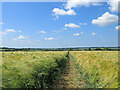
Footpath through barley
A wide view from near the Hartest Hill end of a path to Boxted. Boxted Church, 2km/1.25m away on the other side of the valley, was clearly visible to the bespectacled eye, but is only a pale speck among the trees in the centre of this picture.
Image: © John Sutton
Taken: 23 Jun 2021
0.21 miles
7
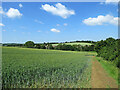
Hartest: wheatfields and footpath
This path from Hartest Hill drops down to the village in the valley, turning a little way ahead through woods and continuing to the green. The houses in this view are at the south end of Hartest, on the main road, the B1066.
Image: © John Sutton
Taken: 23 Jun 2021
0.22 miles
8
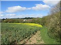
Field margin south of Hartest
The path from Hartest village green to Hartest Hill exits from the wood on the right into this field. The field is currently sown with oilseed rape, some of which is in flower.
Image: © Bob Jones
Taken: 15 Apr 2014
0.23 miles
9
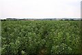
Footpath to Boxted
There's a path here somewhere! The line of the path can just be discerned through this field of beans.
Image: © Bob Jones
Taken: 4 Jul 2006
0.23 miles