Field margin south of Hartest
Introduction
The photograph on this page of Field margin south of Hartest by Bob Jones as part of the Geograph project.
The Geograph project started in 2005 with the aim of publishing, organising and preserving representative images for every square kilometre of Great Britain, Ireland and the Isle of Man.

There are currently over 7.5m images from over 14,400 individuals and you can help contribute to the project by visiting https://www.geograph.org.uk
Field margin south of Hartest
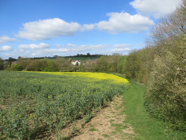
Image: © Bob Jones Taken: 15 Apr 2014
The path from Hartest village green to Hartest Hill exits from the wood on the right into this field. The field is currently sown with oilseed rape, some of which is in flower.
Images are licensed for reuse under creativecommons.org/licenses/by-sa/2.0
Image Location
Latitude
52.137837
Longitude
0.678192