Barley field and footpath
Introduction
The photograph on this page of Barley field and footpath by John Sutton as part of the Geograph project.
The Geograph project started in 2005 with the aim of publishing, organising and preserving representative images for every square kilometre of Great Britain, Ireland and the Isle of Man.

There are currently over 7.5m images from over 14,400 individuals and you can help contribute to the project by visiting https://www.geograph.org.uk
Barley field and footpath
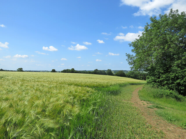
Image: © John Sutton Taken: 23 Jun 2021
The path climbs from Hartest Green to Hartest Hill (behind the camera) and there are fine views south-west across the valley of the River Glem.
Images are licensed for reuse under creativecommons.org/licenses/by-sa/2.0
Image Location
Latitude
52.134973
Longitude
0.681528