Hartest: wheatfields and footpath
Introduction
The photograph on this page of Hartest: wheatfields and footpath by John Sutton as part of the Geograph project.
The Geograph project started in 2005 with the aim of publishing, organising and preserving representative images for every square kilometre of Great Britain, Ireland and the Isle of Man.

There are currently over 7.5m images from over 14,400 individuals and you can help contribute to the project by visiting https://www.geograph.org.uk
Hartest: wheatfields and footpath
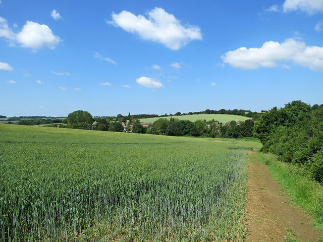
Image: © John Sutton Taken: 23 Jun 2021
This path from Hartest Hill drops down to the village in the valley, turning a little way ahead through woods and continuing to the green. The houses in this view are at the south end of Hartest, on the main road, the B1066.
Images are licensed for reuse under creativecommons.org/licenses/by-sa/2.0
Image Location
Latitude
52.137651
Longitude
0.678473