IMAGES TAKEN NEAR TO
Mountain Way, HUDDERSFIELD, HD5 0EW
Introduction
This page details the photographs taken nearby to Mountain Way, HD5 0EW by members of the Geograph project.
The Geograph project started in 2005 with the aim of publishing, organising and preserving representative images for every square kilometre of Great Britain, Ireland and the Isle of Man.

There are currently over 7.5m images from over14,400 individuals and you can help contribute to the project by visiting https://www.geograph.org.uk
Image Map
Images are licensed for reuse under creativecommons.org/licenses/by-sa/2.0
Notes
- Clicking on the map will re-center to the selected point.
- The higher the marker number, the further away the image location is from the centre of the postcode.
Image Listing (45 Images Found)
Images are licensed for reuse under creativecommons.org/licenses/by-sa/2.0
Image
Details
Distance
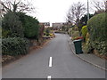
4
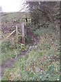
Public footpath off Mountain Way
The path leads up to Cockley Hill.
Image: © Stephen Craven
Taken: 14 Apr 2022
0.05 miles
5
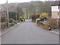
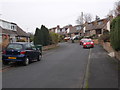
Stafford Hill Lane - looking towards Lane Side
Image: © Betty Longbottom
Taken: 17 Nov 2015
0.05 miles
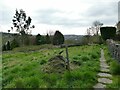
6
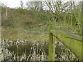
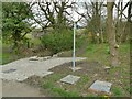
Small pond at the end of Mountain Way
Image: © Stephen Craven
Taken: 14 Apr 2022
0.06 miles
8
Railway engine carved on a grave monument, Kirkheaton Cemetery
This is on the monument for Hollin Rhodes, who died in 1899, aged 24. He was presumably very interested in railways.
Image: © Humphrey Bolton
Taken: 19 Oct 2023
0.06 miles
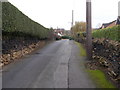
10
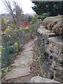
Causewayed footpath in Kirkheaton
The path leads from Stafford Hill Lane to Lane Side Lane (formerly Hole Bottom Lane, as shown on the 1893 map which also shows this path).
Image: © Stephen Craven
Taken: 14 Apr 2022
0.08 miles