Causewayed footpath in Kirkheaton
Introduction
The photograph on this page of Causewayed footpath in Kirkheaton by Stephen Craven as part of the Geograph project.
The Geograph project started in 2005 with the aim of publishing, organising and preserving representative images for every square kilometre of Great Britain, Ireland and the Isle of Man.

There are currently over 7.5m images from over 14,400 individuals and you can help contribute to the project by visiting https://www.geograph.org.uk
Causewayed footpath in Kirkheaton
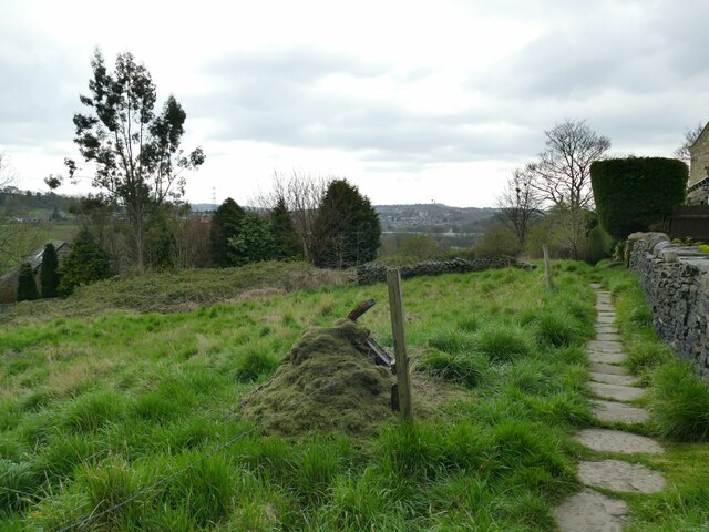
Image: © Stephen Craven Taken: 14 Apr 2022
The path leads from Stafford Hill Lane to Lane Side Lane (formerly Hole Bottom Lane, as shown on the 1893 map which also shows this path).
Images are licensed for reuse under creativecommons.org/licenses/by-sa/2.0
Image Location
Latitude
53.652964
Longitude
-1.725813