IMAGES TAKEN NEAR TO
Shires Fold, HUDDERSFIELD, HD3 4ES
Introduction
This page details the photographs taken nearby to Shires Fold, HD3 4ES by members of the Geograph project.
The Geograph project started in 2005 with the aim of publishing, organising and preserving representative images for every square kilometre of Great Britain, Ireland and the Isle of Man.

There are currently over 7.5m images from over14,400 individuals and you can help contribute to the project by visiting https://www.geograph.org.uk
Image Map
Images are licensed for reuse under creativecommons.org/licenses/by-sa/2.0
Notes
- Clicking on the map will re-center to the selected point.
- The higher the marker number, the further away the image location is from the centre of the postcode.
Image Listing (97 Images Found)
Images are licensed for reuse under creativecommons.org/licenses/by-sa/2.0
Image
Details
Distance
2
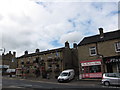
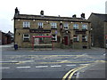
Croppers Arms, Marsh
A view of the Croppers Arms, a Webster's owned pub on A640 Westbourne Road in Marsh opposite Reed Street.
Image: © Bobby Clegg
Taken: 30 Aug 2012
0.04 miles

5
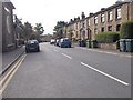
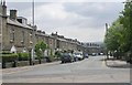
Luck Lane - viewed from Reed Street
Image: © Betty Longbottom
Taken: 16 Sep 2015
0.05 miles
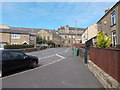
7
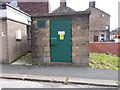
Electricity Substation No 615 - off Westbourne Road
Image: © Betty Longbottom
Taken: 16 Sep 2015
0.07 miles
10
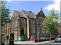
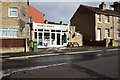
Former Church - St James Road
Foundation Stone was laid in 1913. It now has multi-use occupancy.
Image: © Betty Longbottom
Taken: 13 May 2008
0.07 miles