Former Church - St James Road
Introduction
The photograph on this page of Former Church - St James Road by Betty Longbottom as part of the Geograph project.
The Geograph project started in 2005 with the aim of publishing, organising and preserving representative images for every square kilometre of Great Britain, Ireland and the Isle of Man.

There are currently over 7.5m images from over 14,400 individuals and you can help contribute to the project by visiting https://www.geograph.org.uk
Former Church - St James Road
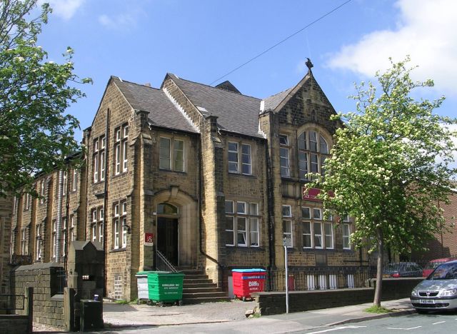
Image: © Betty Longbottom Taken: 13 May 2008
Foundation Stone was laid in 1913. It now has multi-use occupancy.
Images are licensed for reuse under creativecommons.org/licenses/by-sa/2.0
Image Location
Latitude
53.650248
Longitude
-1.807828