IMAGES TAKEN NEAR TO
Rumbold Road, HUDDERSFIELD, HD3 3DB
Introduction
This page details the photographs taken nearby to Rumbold Road, HD3 3DB by members of the Geograph project.
The Geograph project started in 2005 with the aim of publishing, organising and preserving representative images for every square kilometre of Great Britain, Ireland and the Isle of Man.

There are currently over 7.5m images from over14,400 individuals and you can help contribute to the project by visiting https://www.geograph.org.uk
Image Map
Images are licensed for reuse under creativecommons.org/licenses/by-sa/2.0
Notes
- Clicking on the map will re-center to the selected point.
- The higher the marker number, the further away the image location is from the centre of the postcode.
Image Listing (73 Images Found)
Images are licensed for reuse under creativecommons.org/licenses/by-sa/2.0
Image
Details
Distance
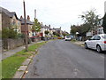
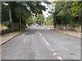
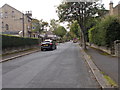
2
Thornhill Road - viewed from Syringa Street
Image: © Betty Longbottom
Taken: 16 Sep 2015
0.08 miles
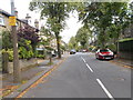
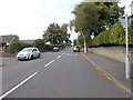

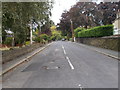
7
Cleveland Road - viewed from Sunny Bank Road
Image: © Betty Longbottom
Taken: 16 Sep 2015
0.10 miles
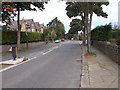
8
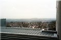
View southeast from Huddersfield Royal Infirmary
Houses in Marsh are in the foreground. Castle Hill is on the skyline. Huddersfield town centre is in the valley between on the left.
Image: © Les Shaw
Taken: 14 Jan 2004
0.11 miles