View southeast from Huddersfield Royal Infirmary
Introduction
The photograph on this page of View southeast from Huddersfield Royal Infirmary by Les Shaw as part of the Geograph project.
The Geograph project started in 2005 with the aim of publishing, organising and preserving representative images for every square kilometre of Great Britain, Ireland and the Isle of Man.

There are currently over 7.5m images from over 14,400 individuals and you can help contribute to the project by visiting https://www.geograph.org.uk
View southeast from Huddersfield Royal Infirmary
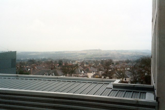
Image: © Les Shaw Taken: 14 Jan 2004
Houses in Marsh are in the foreground. Castle Hill is on the skyline. Huddersfield town centre is in the valley between on the left.
Images are licensed for reuse under creativecommons.org/licenses/by-sa/2.0
Image Location
Latitude
53.65385
Longitude
-1.812351