
IMAGES TAKEN NEAR TO
Arkendale Walk, DERBY, DE24 0RJ
Introduction
This page details the photographs taken nearby to Arkendale Walk, DE24 0RJ by members of the Geograph project.
The Geograph project started in 2005 with the aim of publishing, organising and preserving representative images for every square kilometre of Great Britain, Ireland and the Isle of Man.

There are currently over 7.5m images from over14,400 individuals and you can help contribute to the project by visiting https://www.geograph.org.uk
Image Map
Images are licensed for reuse under creativecommons.org/licenses/by-sa/2.0
Notes
- Clicking on the map will re-center to the selected point.
- The higher the marker number, the further away the image location is from the centre of the postcode.
Image Listing (15 Images Found)
Images are licensed for reuse under creativecommons.org/licenses/by-sa/2.0
Image
Details
Distance
1
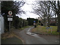
Eastern part of Elvaston Lane, Alvaston
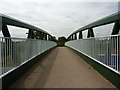
At which point it basically does become a lane. Motor vehicles are only permitted for access, but pedestrians, cyclists, and horseriders can get through to Elvaston Castle Country Park by means of a footbridge across the A6 Alvaston bypass.
Image: © Richard Vince
Taken: 7 Dec 2019
0.09 miles
2
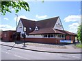
The James Wyatt
James Wyatt was a late 18th/early 19th century architect. One of his commissions was to redesign Elvaston Castle, which is nearby.
Image: © Ian Calderwood
Taken: 12 May 2012
0.10 miles
3
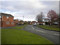
West end of Stocker Avenue, Derby
Off Elvaston Lane.
Image: © Richard Vince
Taken: 7 Dec 2019
0.13 miles
4
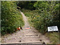
Untidy footpath
Not much Streetpride being shown here.
Image: © Peter Barr
Taken: 26 Jul 2011
0.14 miles
5
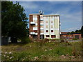
Boarded up flats
Elvaston Lane; a similar block appears to have been demolished.
Image: © Peter Barr
Taken: 26 Jul 2011
0.14 miles
7
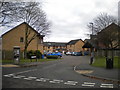
Castleton Court, Alvaston
Off Branksome Avenue, giving access to housing that replaced Image There were five blocks of flats here, named after places on the Isle of Wight. This road was called Durley Close before the flats were demolished.
Image: © Richard Vince
Taken: 7 Dec 2019
0.19 miles
9
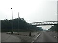
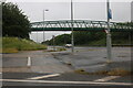
Footbridge over A6 at exit for Bridlegate Lane, Stocker Flat
Image: © David Smith
Taken: 8 Sep 2023
0.19 miles
10
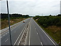
Little traffic on the A6
From a footbridge near Elvaston Castle.
Image: © Peter Barr
Taken: 26 Jul 2011
0.20 miles