Castleton Court, Alvaston
Introduction
The photograph on this page of Castleton Court, Alvaston by Richard Vince as part of the Geograph project.
The Geograph project started in 2005 with the aim of publishing, organising and preserving representative images for every square kilometre of Great Britain, Ireland and the Isle of Man.

There are currently over 7.5m images from over 14,400 individuals and you can help contribute to the project by visiting https://www.geograph.org.uk
Castleton Court, Alvaston
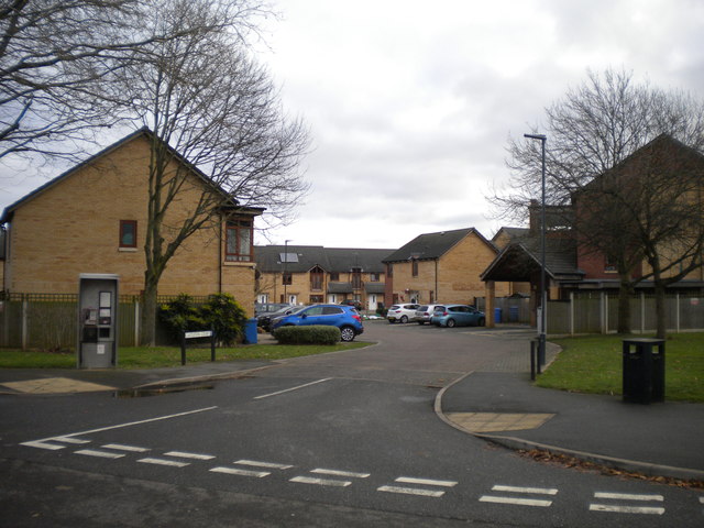
Image: © Richard Vince Taken: 7 Dec 2019
Off Branksome Avenue, giving access to housing that replaced Image There were five blocks of flats here, named after places on the Isle of Wight. This road was called Durley Close before the flats were demolished.
Images are licensed for reuse under creativecommons.org/licenses/by-sa/2.0
Image Location
Latitude
52.894548
Longitude
-1.417279