Eastern part of Elvaston Lane, Alvaston
Introduction
The photograph on this page of Eastern part of Elvaston Lane, Alvaston by Richard Vince as part of the Geograph project.
The Geograph project started in 2005 with the aim of publishing, organising and preserving representative images for every square kilometre of Great Britain, Ireland and the Isle of Man.

There are currently over 7.5m images from over 14,400 individuals and you can help contribute to the project by visiting https://www.geograph.org.uk
Eastern part of Elvaston Lane, Alvaston
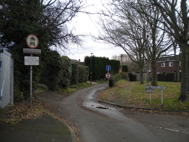
Image: © Richard Vince Taken: 7 Dec 2019
At which point it basically does become a lane. Motor vehicles are only permitted for access, but pedestrians, cyclists, and horseriders can get through to Elvaston Castle Country Park by means of a footbridge across the A6 Alvaston bypass.
Images are licensed for reuse under creativecommons.org/licenses/by-sa/2.0
Image Location
Latitude
52.893547
Longitude
-1.414766