Boarded up flats
Introduction
The photograph on this page of Boarded up flats by Peter Barr as part of the Geograph project.
The Geograph project started in 2005 with the aim of publishing, organising and preserving representative images for every square kilometre of Great Britain, Ireland and the Isle of Man.

There are currently over 7.5m images from over 14,400 individuals and you can help contribute to the project by visiting https://www.geograph.org.uk
Boarded up flats
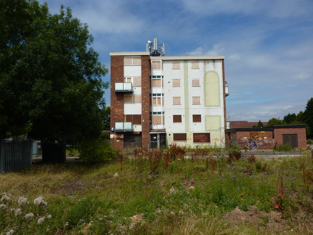
Image: © Peter Barr Taken: 26 Jul 2011
Elvaston Lane; a similar block appears to have been demolished.
Images are licensed for reuse under creativecommons.org/licenses/by-sa/2.0
Image Location
Latitude
52.894182
Longitude
-1.415946