
IMAGES TAKEN NEAR TO
North Way, CREWE, CW2 5AR
Introduction
This page details the photographs taken nearby to North Way, CW2 5AR by members of the Geograph project.
The Geograph project started in 2005 with the aim of publishing, organising and preserving representative images for every square kilometre of Great Britain, Ireland and the Isle of Man.

There are currently over 7.5m images from over14,400 individuals and you can help contribute to the project by visiting https://www.geograph.org.uk
Image Map
Images are licensed for reuse under creativecommons.org/licenses/by-sa/2.0
Notes
- Clicking on the map will re-center to the selected point.
- The higher the marker number, the further away the image location is from the centre of the postcode.
Image Listing (6 Images Found)
Images are licensed for reuse under creativecommons.org/licenses/by-sa/2.0
Image
Details
Distance
1
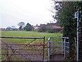
Path to Park Estate
The path provides a short cut from the estate (in the distance) to Crewe Road.
Image: © Richard Dorrell
Taken: 22 Jan 2011
0.17 miles
2
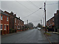
Crewe Road
Similar style terraced houses face each other across the wide B5071 road from Crewe to Shavington.
Image: © Richard Dorrell
Taken: 22 Jan 2011
0.17 miles
3
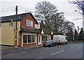
Refurbished retail unit to let
At one time this was two units, but is now combined into one with a sales area of 120 square metres. It is located in Crewe Road
Image: © Richard Dorrell
Taken: 22 Jan 2011
0.18 miles
5
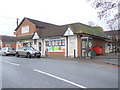
Convenience store on Crewe Road (B5071), Shavington
Image: © JThomas
Taken: 12 Nov 2016
0.21 miles
6
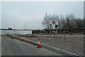
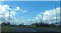
Basford West spine road
The Basford West development is the proposed development of 32.5ha of land west of the West Coast Main Line south of Crewe. This will comprise residential, retail and leisure development. A key component is a multi-million pound 'spine road' seen here as a spur joining the A500.
Image: © Jonathan Hutchins
Taken: 5 Apr 2015
0.23 miles