Crewe Road
Introduction
The photograph on this page of Crewe Road by Richard Dorrell as part of the Geograph project.
The Geograph project started in 2005 with the aim of publishing, organising and preserving representative images for every square kilometre of Great Britain, Ireland and the Isle of Man.

There are currently over 7.5m images from over 14,400 individuals and you can help contribute to the project by visiting https://www.geograph.org.uk
Crewe Road
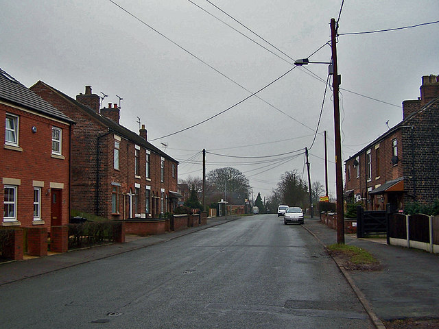
Image: © Richard Dorrell Taken: 22 Jan 2011
Similar style terraced houses face each other across the wide B5071 road from Crewe to Shavington.
Images are licensed for reuse under creativecommons.org/licenses/by-sa/2.0
Image Location
Latitude
53.067206
Longitude
-2.442295