Basford West spine road
Introduction
The photograph on this page of Basford West spine road by Jonathan Hutchins as part of the Geograph project.
The Geograph project started in 2005 with the aim of publishing, organising and preserving representative images for every square kilometre of Great Britain, Ireland and the Isle of Man.

There are currently over 7.5m images from over 14,400 individuals and you can help contribute to the project by visiting https://www.geograph.org.uk
Basford West spine road
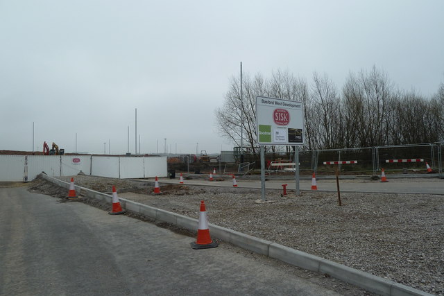
Image: © Jonathan Hutchins Taken: 5 Apr 2015
The Basford West development is the proposed development of 32.5ha of land west of the West Coast Main Line south of Crewe. This will comprise residential, retail and leisure development. A key component is a multi-million pound 'spine road' seen here as a spur joining the A500.
Images are licensed for reuse under creativecommons.org/licenses/by-sa/2.0
Image Location
Latitude
53.071265
Longitude
-2.438456