
IMAGES TAKEN NEAR TO
Deri Terrace, FERNDALE, CF43 3NB
Introduction
This page details the photographs taken nearby to Deri Terrace, CF43 3NB by members of the Geograph project.
The Geograph project started in 2005 with the aim of publishing, organising and preserving representative images for every square kilometre of Great Britain, Ireland and the Isle of Man.

There are currently over 7.5m images from over14,400 individuals and you can help contribute to the project by visiting https://www.geograph.org.uk
Image Map
Images are licensed for reuse under creativecommons.org/licenses/by-sa/2.0
Notes
- Clicking on the map will re-center to the selected point.
- The higher the marker number, the further away the image location is from the centre of the postcode.
Image Listing (85 Images Found)
Images are licensed for reuse under creativecommons.org/licenses/by-sa/2.0
Image
Details
Distance
1
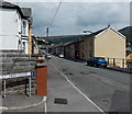
Deri Terrace Pontygwaith
The corner of Deri Close is the point where Madeline Street behind the camera becomes Deri Terrace ahead.
Image: © Jaggery
Taken: 8 Aug 2013
0.01 miles
3
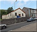
Tylorstown Methodist Church
Viewed across the A4233 Ferndale Road, from the edge of the former Zion chapel, now flats. http://www.geograph.org.uk/photo/3587621
Image: © Jaggery
Taken: 20 Aug 2013
0.03 miles
4
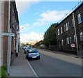
Southern boundary of Tylorstown
Viewed from the northern edge of Pontygwaith. A small rectangular sign on a post marks the boundary of Tylorstown, a former mining village in the county borough of Rhondda Cynon Taf. It was founded by Alfred Tylor who set up a coal mining operation in the area in the mid 19th century.
Image: © Jaggery
Taken: 19 Sep 2012
0.05 miles
5
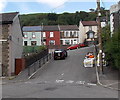
Woodland Road houses, Tylorstown
Viewed from Deri Terrace up a short unnamed connecting road.
Image: © Jaggery
Taken: 20 Aug 2013
0.05 miles
6
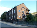
Zion, Tylorstown
Viewed across the A4233 Ferndale Road. The former Zion chapel has been converted to 12 flats.
The building is now named Y Ty Capel Zion.
Image: © Jaggery
Taken: 19 Sep 2012
0.05 miles
7
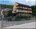
East side of Y Ty Capel Zion, Tylorstown
Viewed across Llanwonno Road and a river, the Rhondda Fach. The former Zion chapel has been converted to 12 flats.
Image: © Jaggery
Taken: 8 Aug 2013
0.05 miles
8
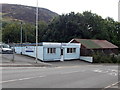
MP Computer Services, Tylorstown
The business is at 14 Ferndale Road.
Image: © Jaggery
Taken: 20 Aug 2013
0.05 miles
9
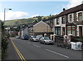
Southern end of Ferndale Road, Tylorstown
Looking south along the A4233 Ferndale Road towards the Tylorstown/Pontygwaith boundary.
Image: © Jaggery
Taken: 20 Aug 2013
0.05 miles
10
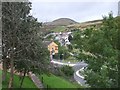
Y Ty Capel Zion seen from Deri St, Pontygwaith
Stanleytown is seen beyond
Image: © John Lord
Taken: 6 Sep 2008
0.06 miles