East side of Y Ty Capel Zion, Tylorstown
Introduction
The photograph on this page of East side of Y Ty Capel Zion, Tylorstown by Jaggery as part of the Geograph project.
The Geograph project started in 2005 with the aim of publishing, organising and preserving representative images for every square kilometre of Great Britain, Ireland and the Isle of Man.

There are currently over 7.5m images from over 14,400 individuals and you can help contribute to the project by visiting https://www.geograph.org.uk
East side of Y Ty Capel Zion, Tylorstown
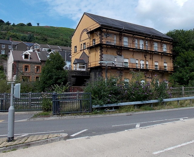
Image: © Jaggery Taken: 8 Aug 2013
Viewed across Llanwonno Road and a river, the Rhondda Fach. The former Zion chapel has been converted to 12 flats.
Images are licensed for reuse under creativecommons.org/licenses/by-sa/2.0
Image Location
Latitude
51.641271
Longitude
-3.432646