Tylorstown Methodist Church
Introduction
The photograph on this page of Tylorstown Methodist Church by Jaggery as part of the Geograph project.
The Geograph project started in 2005 with the aim of publishing, organising and preserving representative images for every square kilometre of Great Britain, Ireland and the Isle of Man.

There are currently over 7.5m images from over 14,400 individuals and you can help contribute to the project by visiting https://www.geograph.org.uk
Tylorstown Methodist Church
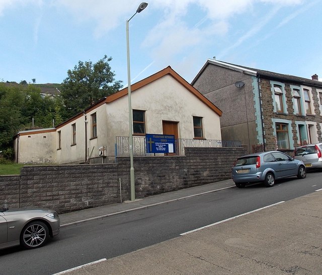
Image: © Jaggery Taken: 20 Aug 2013
Viewed across the A4233 Ferndale Road, from the edge of the former Zion chapel, now flats. http://www.geograph.org.uk/photo/3587621
Images are licensed for reuse under creativecommons.org/licenses/by-sa/2.0
Image Location
Latitude
51.641447
Longitude
-3.432941