Southern boundary of Tylorstown
Introduction
The photograph on this page of Southern boundary of Tylorstown by Jaggery as part of the Geograph project.
The Geograph project started in 2005 with the aim of publishing, organising and preserving representative images for every square kilometre of Great Britain, Ireland and the Isle of Man.

There are currently over 7.5m images from over 14,400 individuals and you can help contribute to the project by visiting https://www.geograph.org.uk
Southern boundary of Tylorstown
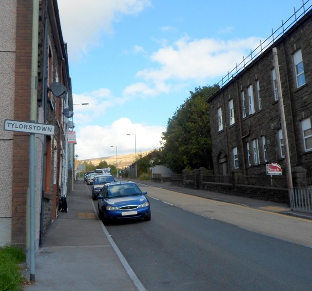
Image: © Jaggery Taken: 19 Sep 2012
Viewed from the northern edge of Pontygwaith. A small rectangular sign on a post marks the boundary of Tylorstown, a former mining village in the county borough of Rhondda Cynon Taf. It was founded by Alfred Tylor who set up a coal mining operation in the area in the mid 19th century.
Images are licensed for reuse under creativecommons.org/licenses/by-sa/2.0
Image Location
Latitude
51.640998
Longitude
-3.432927