
IMAGES TAKEN NEAR TO
Higher Blandford Road, BROADSTONE, BH18 9BG
Introduction
This page details the photographs taken nearby to Higher Blandford Road, BH18 9BG by members of the Geograph project.
The Geograph project started in 2005 with the aim of publishing, organising and preserving representative images for every square kilometre of Great Britain, Ireland and the Isle of Man.

There are currently over 7.5m images from over14,400 individuals and you can help contribute to the project by visiting https://www.geograph.org.uk
Image Map
Images are licensed for reuse under creativecommons.org/licenses/by-sa/2.0
Notes
- Clicking on the map will re-center to the selected point.
- The higher the marker number, the further away the image location is from the centre of the postcode.
Image Listing (23 Images Found)
Images are licensed for reuse under creativecommons.org/licenses/by-sa/2.0
Image
Details
Distance
1
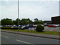
Corfe Hills School
Secondary school on Higher Blandford Road: http://www.corfe-hills.dorset.sch.uk/
Image: © Mike Faherty
Taken: 24 Jun 2011
0.05 miles
2
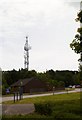
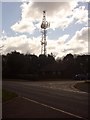
Broadstone, telecoms mast
In a corner of Image, operated by O2.
Image: © Mike Faherty
Taken: 24 Jun 2011
0.08 miles
4
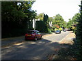
Broadstone, Widworthy Drive
Road with modern housing, off Higher Blandford Road; it appears to be named after a Devon village.
Image: © Mike Faherty
Taken: 8 Oct 2009
0.11 miles
5
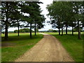
Corfe Hills, footpath
From Higher Blandford Road across Broadstone Golf Club to the dismantled railway line.
Image: © Mike Faherty
Taken: 24 Jun 2011
0.13 miles
6
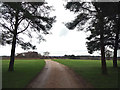
Footpath across golf course fairway
A public right-of-way across one of the fairways at Broadstone Golf Course, at Corfe Hills.
Image: © Peter Kazmierczak
Taken: 22 Feb 2016
0.16 miles
7
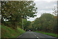
Higher Blandford Road
Although not at all hinted in this view, to either side is the heathland of Corfe Hills.
Image: © Robin Webster
Taken: 30 Oct 2012
0.18 miles
8
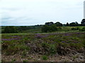
Corfe Hills, heathland
Part of Corfe Hills Nature Reserve, with Broadstone Golf Club to the right in the distance: http://www.boroughofpoole.com/facilities/ref:F465e9bc762de2/
Image: © Mike Faherty
Taken: 24 Jun 2011
0.18 miles
9
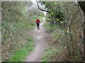
Roman Road in Broadstone
To the left is Corfe Hills school playing field, to the right dense housing in Corfe Mullen. Just to the right is the aggar of the Roman Road. This is near the end of our 7 mile walk, and my feet are killing me.
Image: © John Palmer
Taken: 30 Mar 2009
0.19 miles
10
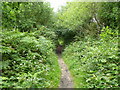
Broadstone, Roman road
From Lake, by Hamworthy, to Badbury, and then on to Bath. Part of the ager embankment can be seen in places, but at this time of year the route is overgrown. Much of the route in Poole is now a bridleway.
Image: © Mike Faherty
Taken: 24 Jun 2011
0.19 miles