Roman Road in Broadstone
Introduction
The photograph on this page of Roman Road in Broadstone by John Palmer as part of the Geograph project.
The Geograph project started in 2005 with the aim of publishing, organising and preserving representative images for every square kilometre of Great Britain, Ireland and the Isle of Man.

There are currently over 7.5m images from over 14,400 individuals and you can help contribute to the project by visiting https://www.geograph.org.uk
Roman Road in Broadstone
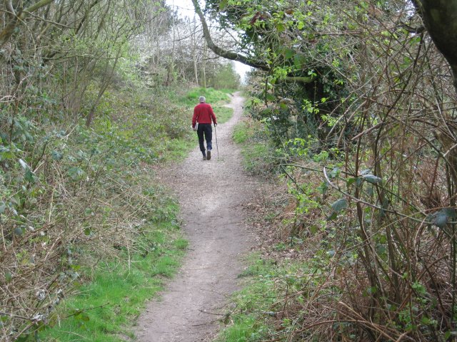
Image: © John Palmer Taken: 30 Mar 2009
To the left is Corfe Hills school playing field, to the right dense housing in Corfe Mullen. Just to the right is the aggar of the Roman Road. This is near the end of our 7 mile walk, and my feet are killing me.
Images are licensed for reuse under creativecommons.org/licenses/by-sa/2.0
Image Location
Latitude
50.770244
Longitude
-2.0103