Higher Blandford Road
Introduction
The photograph on this page of Higher Blandford Road by Robin Webster as part of the Geograph project.
The Geograph project started in 2005 with the aim of publishing, organising and preserving representative images for every square kilometre of Great Britain, Ireland and the Isle of Man.

There are currently over 7.5m images from over 14,400 individuals and you can help contribute to the project by visiting https://www.geograph.org.uk
Higher Blandford Road
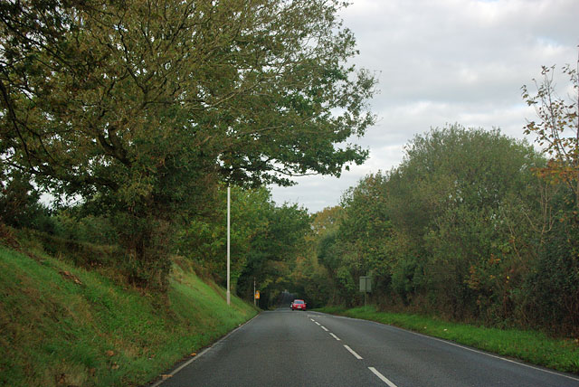
Image: © Robin Webster Taken: 30 Oct 2012
Although not at all hinted in this view, to either side is the heathland of Corfe Hills.
Images are licensed for reuse under creativecommons.org/licenses/by-sa/2.0
Image Location
Latitude
50.771953
Longitude
-2.007748