
IMAGES TAKEN NEAR TO
Charlcombe, BATH, BA1 8DQ
Introduction
This page details the photographs taken nearby to BA1 8DQ by members of the Geograph project.
The Geograph project started in 2005 with the aim of publishing, organising and preserving representative images for every square kilometre of Great Britain, Ireland and the Isle of Man.

There are currently over 7.5m images from over14,400 individuals and you can help contribute to the project by visiting https://www.geograph.org.uk
Image Map
Images are licensed for reuse under creativecommons.org/licenses/by-sa/2.0
Notes
- Clicking on the map will re-center to the selected point.
- The higher the marker number, the further away the image location is from the centre of the postcode.
Image Listing (30 Images Found)
Images are licensed for reuse under creativecommons.org/licenses/by-sa/2.0
Image
Details
Distance
1
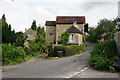
Former mill on Deadmill Lane
Now private residences.
Image: © Bill Boaden
Taken: 25 Jul 2016
0.12 miles
2
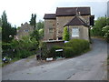
Deadmill Lane
A rather ominous name but the old mill used to grind corn.
Image: © Neil Owen
Taken: 8 Jun 2020
0.12 miles
3
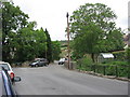
Lower Swainswick
Lower Swainswick is now on the edge of Bath, while Upper Swainswick remains isolated. This is the junction of Valley View Road, Deadmill Lane, Ferndale Road and St. Saviour's Road, taken from just outside the Bladud's Head pub.
Image: © HelenK
Taken: 21 May 2011
0.12 miles
4

Bladud's Head
The old pub seems to be more than closed during the Covid-19 lockdown. Almost all the signs are gone as is the outdoor furniture. Only one small sign remains - see Image
Image: © Neil Owen
Taken: 8 Jun 2020
0.14 miles
5

The King on an illuminated sign
King Bladud was a figure associated with Bath's story; he is said to have herded pigs and discovered the healing power of a local spring. However, the pub bearing his likeness is looking rather forlorn now - see Image
Image: © Neil Owen
Taken: 8 Jun 2020
0.14 miles
6
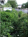
The Lam Brook in Larkhall
Running down from the hills, the brook runs alongside St Saviour's Road and separates the road from the many houses lining it.
Image: © Neil Owen
Taken: 8 Jun 2020
0.14 miles
7

Bus stop on St Saviour's Road
The Linen Walk stop on a route connecting Larkhall with the centre of Bath.
Image: © Bill Boaden
Taken: 25 Jul 2016
0.15 miles
8

A Georgian postbox on St Saviour's Road
A road with a bus stop too. The brick building behind the wall is dated 1881 and was a laundry in the past.
Image: © Neil Owen
Taken: 8 Jun 2020
0.15 miles
9
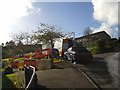
Valley View Close
This development on the edge of Larkhall doesn't yet appear on the large-scale map. The road is already being dug up but at least there is activity around the works. All too often in Bath a road is dug up, left for a while, worked on weeks later, and left for a while again before being filled in.
Image: © HelenK
Taken: 16 Oct 2012
0.16 miles
10
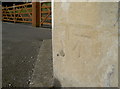
Benchmark on the old Tollhouse
A cutmark, as listed in the Benchmark Database: http://www.bench-marks.org.uk/bm78608 , on the front of the traditionally octagonal part of the old Tollhouse on the Gloucester Road. The mark is a new one, dating from the post-WWII era and is a replacement for one cut in the nineteenth century. See Image] for a longer view of the house.
Image: © Neil Owen
Taken: 8 Sep 2016
0.18 miles