Lower Swainswick
Introduction
The photograph on this page of Lower Swainswick by HelenK as part of the Geograph project.
The Geograph project started in 2005 with the aim of publishing, organising and preserving representative images for every square kilometre of Great Britain, Ireland and the Isle of Man.

There are currently over 7.5m images from over 14,400 individuals and you can help contribute to the project by visiting https://www.geograph.org.uk
Lower Swainswick
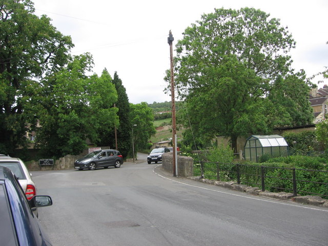
Image: © HelenK Taken: 21 May 2011
Lower Swainswick is now on the edge of Bath, while Upper Swainswick remains isolated. This is the junction of Valley View Road, Deadmill Lane, Ferndale Road and St. Saviour's Road, taken from just outside the Bladud's Head pub.
Images are licensed for reuse under creativecommons.org/licenses/by-sa/2.0
Image Location
Latitude
51.402336
Longitude
-2.343237