
IMAGES TAKEN NEAR TO
Bridgnorth Road, WOLVERHAMPTON, WV6 7ET
Introduction
This page details the photographs taken nearby to Bridgnorth Road, WV6 7ET by members of the Geograph project.
The Geograph project started in 2005 with the aim of publishing, organising and preserving representative images for every square kilometre of Great Britain, Ireland and the Isle of Man.

There are currently over 7.5m images from over14,400 individuals and you can help contribute to the project by visiting https://www.geograph.org.uk
Image Map
Images are licensed for reuse under creativecommons.org/licenses/by-sa/2.0
Notes
- Clicking on the map will re-center to the selected point.
- The higher the marker number, the further away the image location is from the centre of the postcode.
Image Listing (14 Images Found)
Images are licensed for reuse under creativecommons.org/licenses/by-sa/2.0
Image
Details
Distance
1
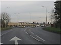
Jenny Walkers Lane traffic lights, A454
Image: © Peter Whatley
Taken: 17 Jan 2012
0.18 miles
2
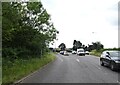
Jenny Walkers Lane Lights
The view of the Bridgnorth Road junction near Perton, Staffordshire.
Image: © Gordon Griffiths
Taken: 8 Jul 2021
0.18 miles
3
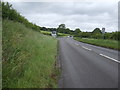
Bridgnorth Road (A454) towards Wolverhampton
Image: © JThomas
Taken: 8 Jun 2019
0.18 miles
5
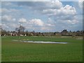
Flooded field
Urban fringe arable farming beside Castlecroft over the canal.
Image: © Richard Webb
Taken: 13 Apr 2016
0.19 miles
6
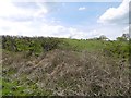
Molehills
A grass field beside the Bridgnorth road. That horrible example of interwar ribbon development, the Perton Ridge is thankfully out of sight over the rise.
Image: © Richard Webb
Taken: 13 Apr 2016
0.19 miles
7
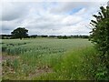
Perton Mill Farm View
The view from the Monarch's Way near the Staffordshire and Worcestershire Canal at Pool Hall.
Image: © Gordon Griffiths
Taken: 24 Jun 2021
0.20 miles
8
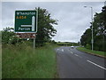
Bend in the Bridgnorth Road (A454) towards Wolverhampton
Image: © JThomas
Taken: 8 Jun 2019
0.21 miles
9
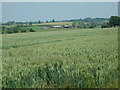
Perton Mill Farm
View from the Monarch's Way
Image: © Gordon Griffiths
Taken: 6 Jun 2007
0.22 miles
10
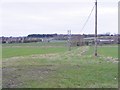
Path from Pool Hall
The view near the Staffordshire and Worcestershire canal at Mops Farm Bridge.
Image: © Gordon Griffiths
Taken: 10 Dec 2018
0.22 miles