Molehills
Introduction
The photograph on this page of Molehills by Richard Webb as part of the Geograph project.
The Geograph project started in 2005 with the aim of publishing, organising and preserving representative images for every square kilometre of Great Britain, Ireland and the Isle of Man.

There are currently over 7.5m images from over 14,400 individuals and you can help contribute to the project by visiting https://www.geograph.org.uk
Molehills
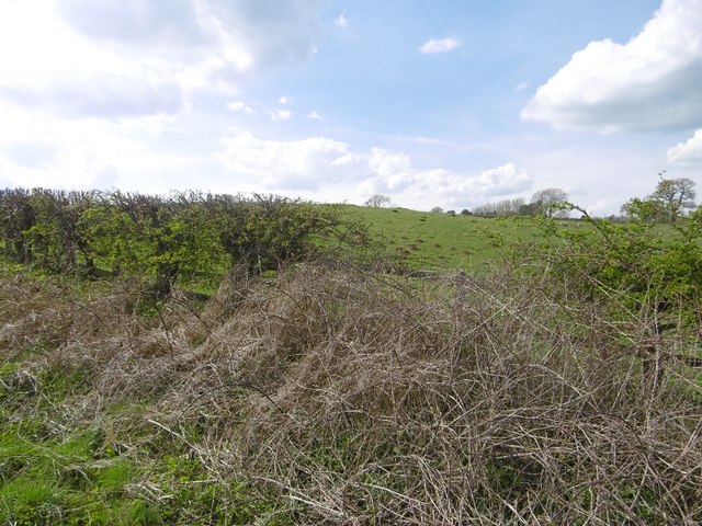
Image: © Richard Webb Taken: 13 Apr 2016
A grass field beside the Bridgnorth road. That horrible example of interwar ribbon development, the Perton Ridge is thankfully out of sight over the rise.
Images are licensed for reuse under creativecommons.org/licenses/by-sa/2.0
Image Location
Latitude
52.580078
Longitude
-2.208482